Agriculture
AI agriculture enables disease detection, quality grading, and environmental forecasting to boost productivity and resilience.
Pest & Disease Control
Use image recognition to detect crop diseases and pests, and provide treatment recommendations to reduce yield loss.
Agri Quality Check
Analyze images and sensor data to assess ripeness and defects, enabling automated grading and improving market competitiveness.
Agri Monitor & Forecast
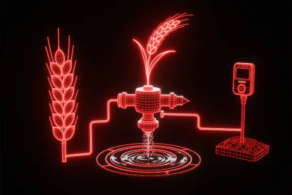
Combine satellite, weather, and sensor data with AI models to predict crop growth, drought, and flood conditions.
Datasets
174Crop Leaf Damage Detection Dataset
This dataset is used to document crop leaf damage to support AI training for crop health monitoring models.
 MOBIUSI INC
- 15k records
- 9
- 0
Plant Pest Recognition Dataset
This dataset is used for the automatic recognition of plant pests, containing images of various pests and damages.
- MOBIUSI INC
- 5k records
- 7
- 0
Agricultural Climate Adaptation Research Dataset
This dataset includes images of farmland drought and vegetation recovery, supporting agricultural climate adaptation research.
- MOBIUSI INC
- 5k records
- 11
- 0
Farmland Irrigation Demand Forecast Dataset
This dataset combines drought farmland imagery with environmental data for AI-based predictions of irrigation timing and water demand.
- MOBIUSI INC
- 5k records
- 10
- 0
Soil Crack Pattern Recognition Dataset
This dataset is used for soil crack pattern recognition, aiding agricultural drought research and soil characteristic analysis.
- MOBIUSI INC
- 5k records
- 9
- 0
Farmland Surface Change Detection Dataset
This dataset collects surface images of farmland under different seasons and drought levels for AI monitoring of surface environment changes.
- MOBIUSI INC
- 5k records
- 10
- 0
Drought Disaster Detection Dataset
The drought disaster detection dataset is used for AI-supported agricultural monitoring and disaster assessment.
- MOBIUSI INC
- 5k records
- 9
- 0
Soil Moisture Estimation Dataset
This dataset is used to estimate soil moisture levels based on image data of surface cracking.
- MOBIUSI INC
- 5k records
- 9
- 0
Land Degradation Monitoring Dataset
The land degradation monitoring dataset records images of varying levels of land cracking and degradation to assist AI in monitoring land quality.
- MOBIUSI INC
- 5k records
- 8
- 0
Crop Drought Stress Detection Dataset
This dataset is used to identify the growth status of crops under drought stress, promoting the development of precision agriculture.
- MOBIUSI INC
- 5k records
- 8
- 0
Rural Road Image Classification Dataset
This dataset focuses on the image classification of rural roads, covering various types of roads.
- MOBIUSI INC
- 15k records
- 12
- 0
Greenhouse Image Classification Dataset
This dataset provides image classification for various types of greenhouses to support intelligent agricultural management.
- MOBIUSI INC
- 15k records
- 8
- 0
Agricultural Product Stall Image Classification Dataset
This dataset provides high-quality image data for the classification of agricultural product stalls, aiding in agricultural intelligence.
- MOBIUSI INC
- 5k records
- 10
- 0
Orchard Vehicle Image Classification Dataset
The Orchard Vehicle Image Classification Dataset focuses on vehicle type recognition to aid the process of agricultural automation.
- MOBIUSI INC
- 5k records
- 8
- 0
Customize Your AI Data Solution
Lightning-Fast Response, 1:1 Technical Validation