


Farmland Surface Change Detection Dataset
#Object Detection #Change Detection #Image Classification #Farmland Monitoring #Environmental Change Analysis #Drought Assessment
- 5000 records
- 1.5G
- JPG/PNG/JSON
- CATL
 MOBIUSI INC
Updated:2026-07-13
AI Analysis & Value Prop
The current agricultural sector faces environmental issues such as climate change and drought, which have severely impacted crop growth and yields. Existing monitoring methods often rely on manual inspections, which are inefficient and difficult to cover large areas. To improve monitoring accuracy and timeliness, this dataset aims to provide diverse farmland surface imagery data, allowing AI technologies to better identify and analyze surface environmental changes. The dataset includes images from different seasons and drought levels, providing decision support for agricultural managers. Data collection is conducted using high-resolution cameras in various fields and climate conditions to ensure diversity coverage. For quality control, the data undergoes multiple rounds of annotation and expert review to ensure consistency and accuracy. The data is stored in JPG format, with a clear organizational structure for subsequent analysis and processing.
Dataset Insights
Sample Examples
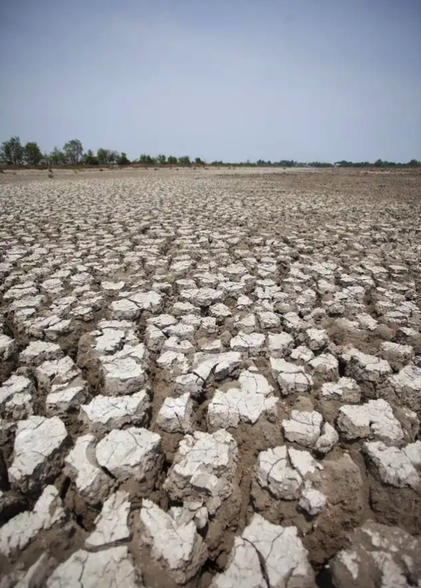
cba50507**.png|1434*2000|3.25 MB
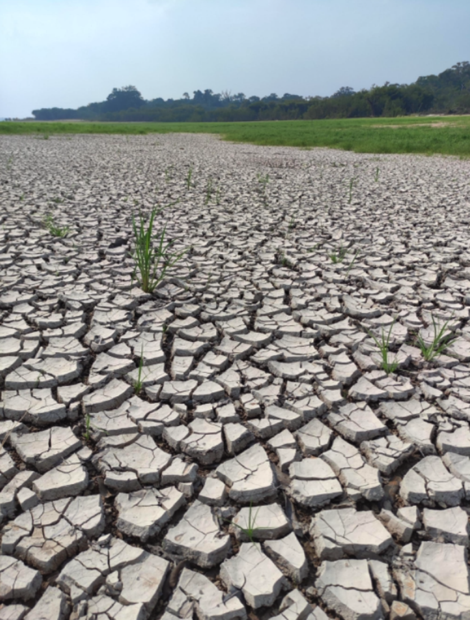
3b0482be**.png|1516*2000|3.88 MB
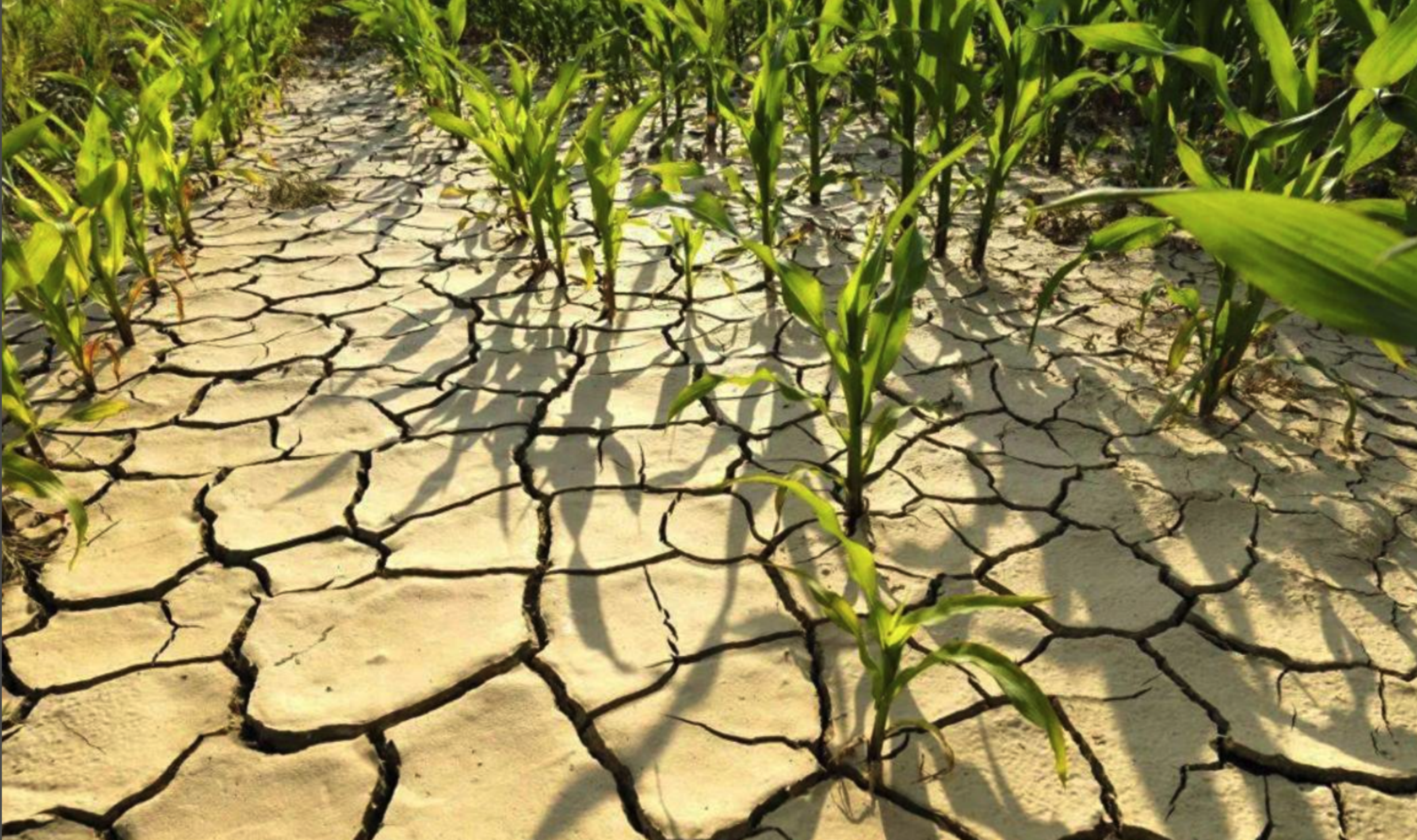
a314be09**.png|3373*2000|9.58 MB


Technical Specifications
| Field | Type | Description |
|---|---|---|
| file_name | string | File name |
| quality | string | Resolution |
| crop_type | string | The primary type of crop planted in the surface image. |
| soil_moisture_level | string | The level of soil moisture in the surface area depicted in the image. |
| vegetation_density | string | The density of vegetation coverage in the image. |
| drought_severity | string | The severity of drought in the area shown in the image. |
Compliance Statement
| Authorization Type | Proprietary - Commercial AI Training License (No Redistribution) |
| Commercial Use | Requires exclusive subscription or authorization contract (monthly or per-invocation charging) |
| Privacy and Anonymization | No PII, no real company names, simulated scenarios follow industry standards |
| Compliance System | Compliant with China's Data Security Law / EU GDPR / supports enterprise data access logs |
Frequently Asked Questions
- What problems can this dataset be used to solve?
- This dataset can be used to detect and analyze surface changes in farmland under different seasonal and drought conditions, aiding in agricultural management and decision-making.
- What is the source of the images in the dataset?
- The images in the dataset are sourced from surface imagery of farmland under different seasonal and drought conditions.
- How can this dataset be used for agricultural research?
- Researchers can use the images in this dataset to train machine learning models for automatically detecting and monitoring the health and change trends of agricultural plots.
- What are the advantages of this dataset for object detection tasks?
- This dataset offers farmland data under various environmental conditions, which helps improve the robustness and accuracy of object detection models under different natural circumstances.
- Which seasons' farmland images are included in the dataset?
- The dataset includes surface images of farmland from spring, summer, autumn, and winter.

Can't find the data you need?
Post a request and let data providers reach out to you.
Get this Dataset
Verified for Enterprise UseCite this Work
@dataset{Mobiusi2025,
  title={Farmland Surface Change Detection Dataset},
  author={MOBIUSI INC},
  year={2025},
  url={https://www.mobiusi.com/datasets/586caad031d6ad135a520a988f383232},
  urldate={2025-09-15},
  keywords={Farmland Monitoring Dataset, Surface Change Detection, Agricultural AI, Object Detection Dataset},
  version={1.0}
}
Using this in research? Please cite us.
placeholder
placeholder
placeholder
placeholder
placeholder
placeholder
placeholder