
Farmland and Woodland Boundary Detection Dataset
#Object detection #boundary recognition #Farmland management #land use monitoring #ecological protection
- 15000 records
- 3G
- JPG/PNG/JSON
- CATL
 MOBIUSI INC
Updated:2026-11-05
AI Analysis & Value Prop
The current agricultural sector faces the dual challenge of increasingly scarce land resources and environmental protection, making the detection of farmland and woodland boundaries a critical issue that needs urgent resolution. Existing monitoring methods often rely on manual surveys, which are inefficient and prone to errors, failing to meet the needs for speed and accuracy. Hence, we have developed this dataset to provide high-quality training data for automated boundary detection, meeting the technological needs of precision agriculture and sustainable development. The dataset is obtained through drone aerial photography, capturing diverse farmland and woodland environments, covering different seasons and climatic conditions. To ensure data quality, we employ multi-round annotation and consistency checking mechanisms, ensuring each image is reviewed by experts with accurate annotations. Data is stored in JPG format, organized as needed, facilitating subsequent deep learning model training and validation.
Dataset Insights
Sample Examples
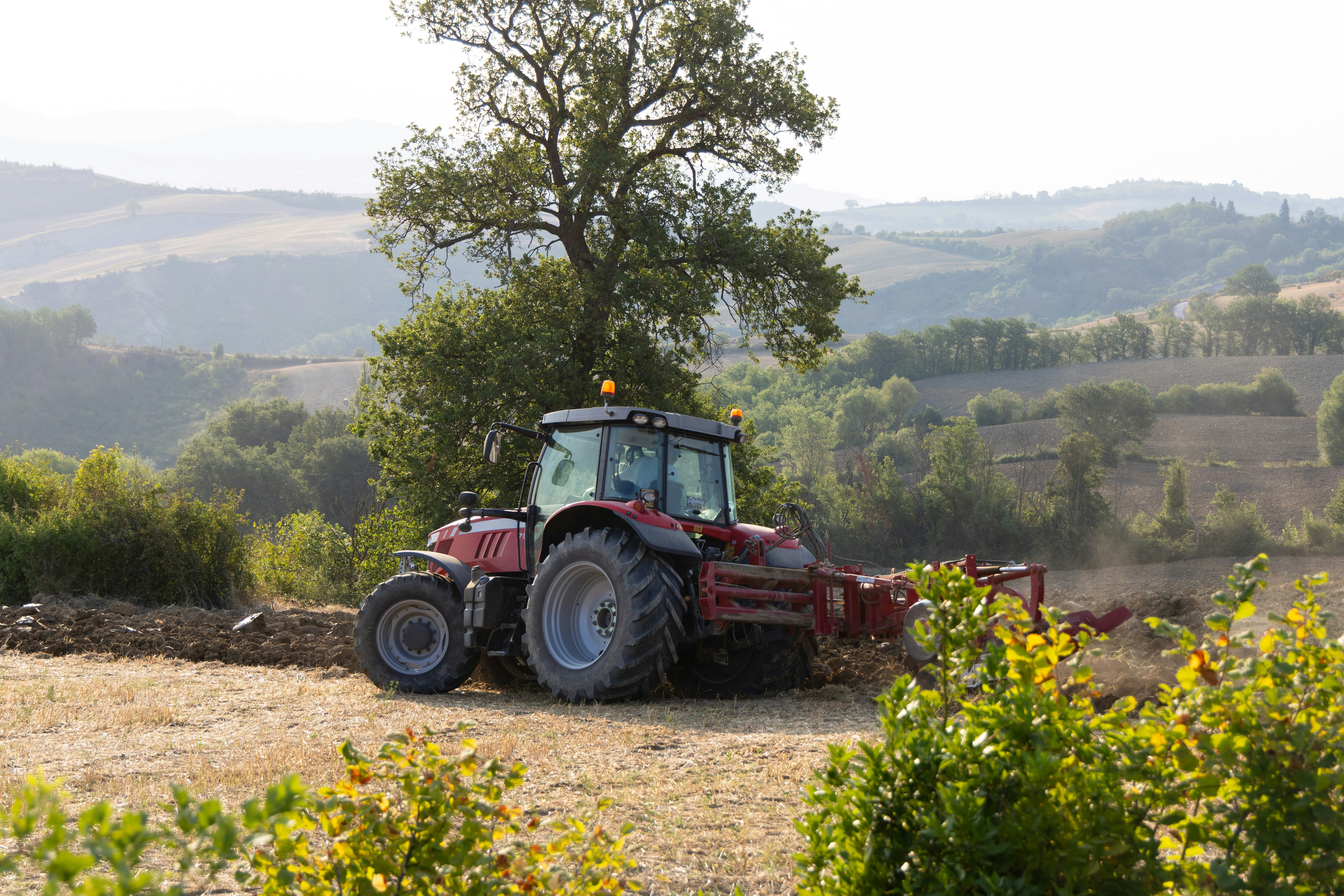
6f9f283f**.jpg|6960*4640|7.00 MB
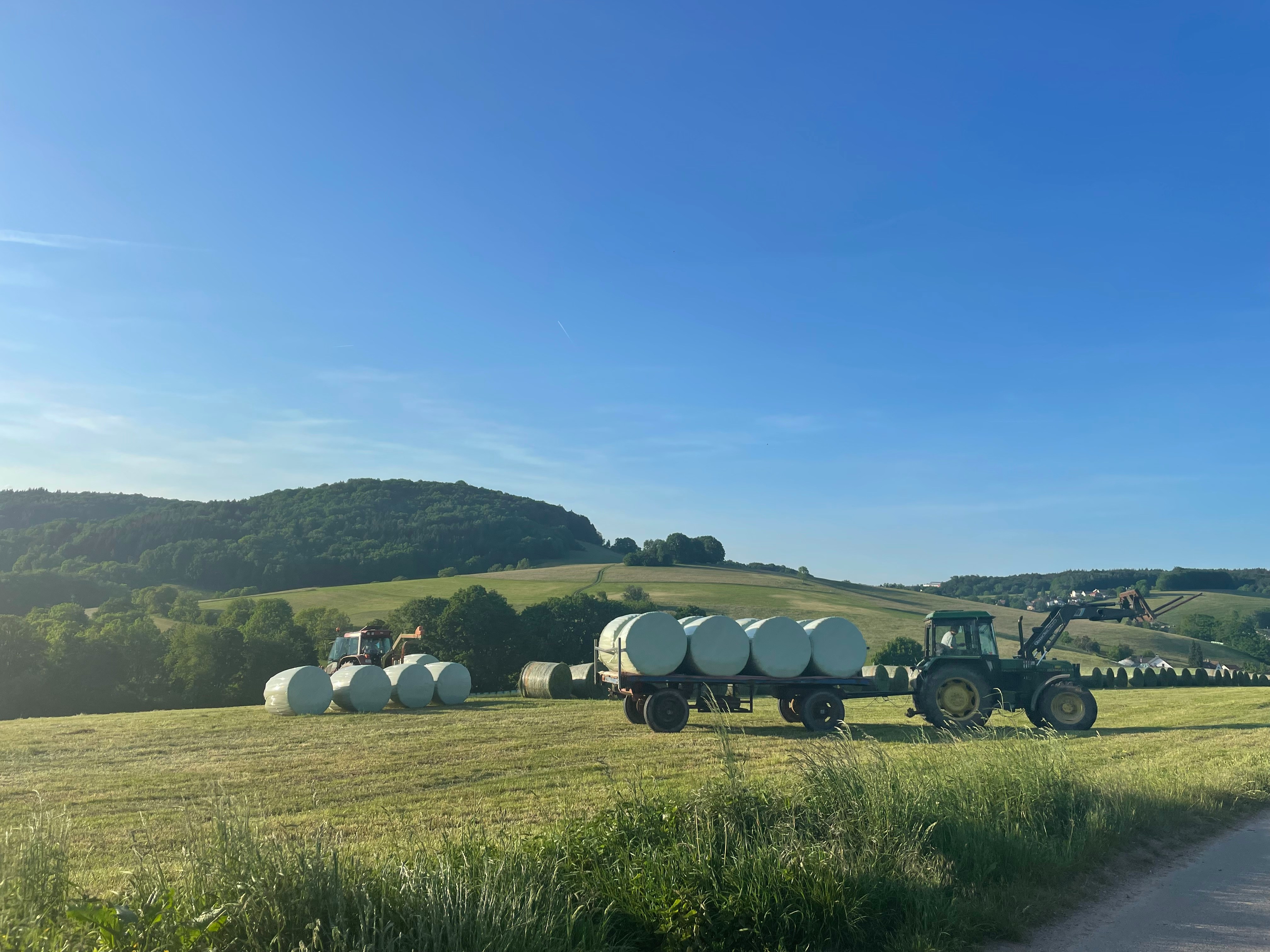
05df7b59**.jpg|4032*3024|1.69 MB
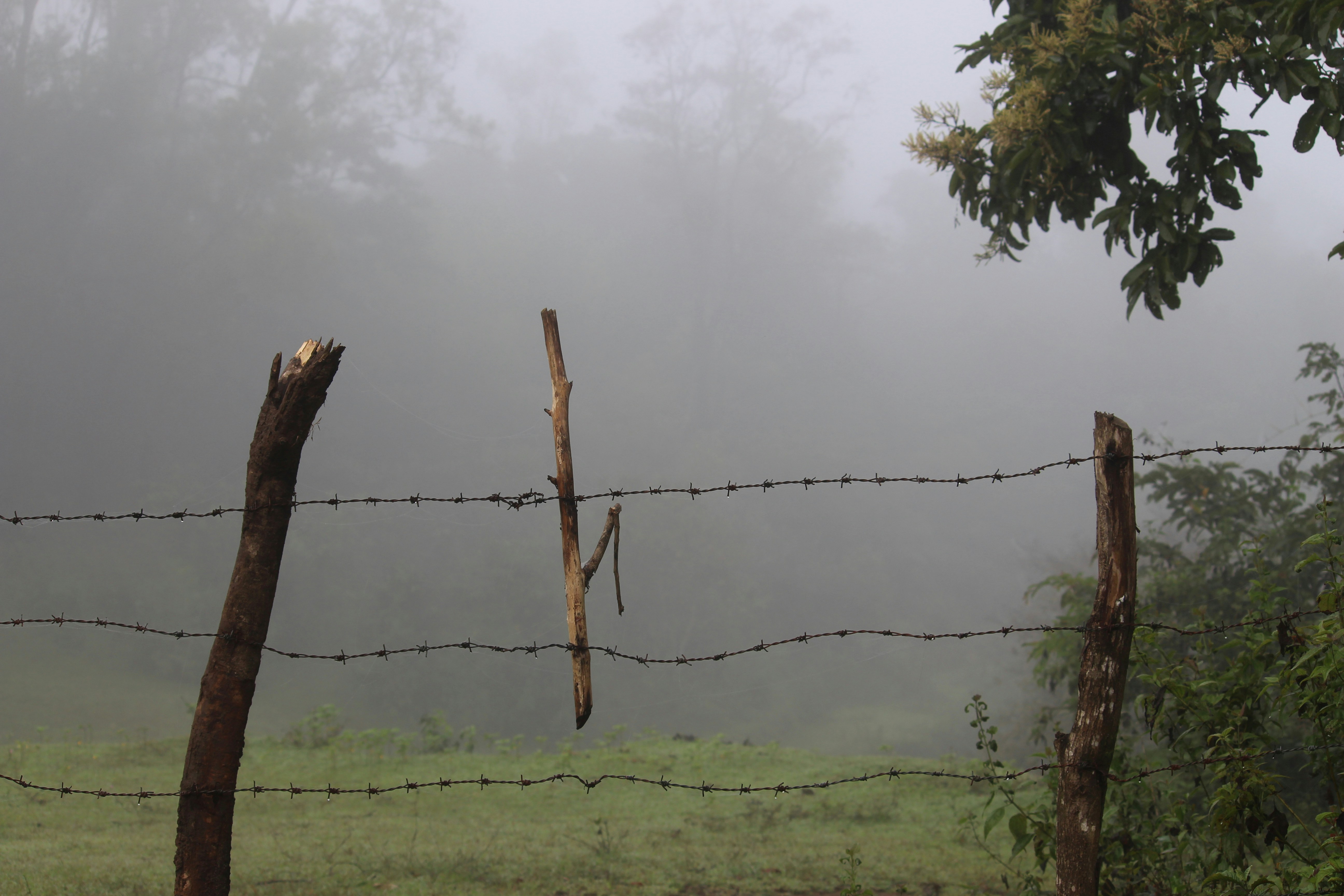
c94e6483**.jpg|5184*3456|1.53 MB
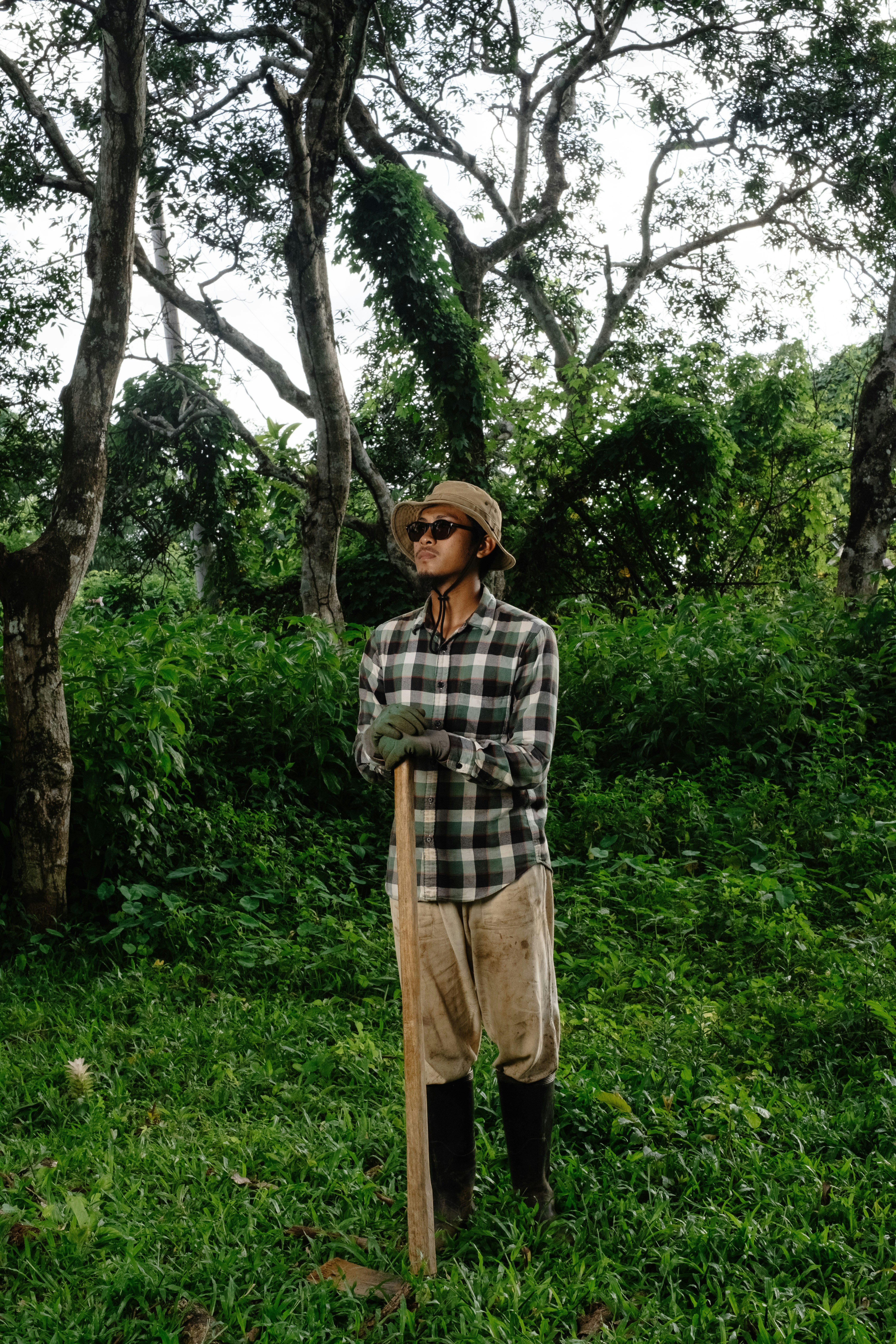
59b3cf27**.jpg|4160*6240|7.04 MB


Technical Specifications
| Field | Type | Description |
|---|---|---|
| file_name | string | File name |
| quality | string | Resolution |
| crop_type | string | The type of major crops grown in the image. |
| tree_species | string | The main tree species in the forested area of the image. |
| land_use_type | string | The specific land use type represented in the image. |
| season | string | The season during which the image was taken, such as spring, summer, etc. |
| weather_conditions | string | The weather conditions at the time the image was taken, such as sunny, rainy, etc. |
Compliance Statement
| Authorization Type | Proprietary - Commercial AI Training License (No Redistribution) |
| Commercial Use | Requires exclusive subscription or authorization contract (monthly or per-invocation charging) |
| Privacy and Anonymization | No PII, no real company names, simulated scenarios follow industry standards |
| Compliance System | Compliant with China's Data Security Law / EU GDPR / supports enterprise data access logs |
Frequently Asked Questions
- What is the Farmland and Woodland Boundary Detection Dataset?
- The Farmland and Woodland Boundary Detection Dataset is an object detection dataset focused on agriculture, providing high-quality image data for identifying the boundaries between farmland and woodland.
- What is the main use of this dataset?
- This dataset is primarily used for training and evaluating machine learning models to automatically detect and identify the boundaries between farmland and woodland.
- Who would be interested in the Farmland and Woodland Boundary Detection Dataset?
- Researchers and developers involved in smart agriculture, environmental monitoring, and land management may be interested in this dataset.
- What are the applications of this dataset in agriculture?
- In agriculture, this dataset can be used to optimize land use, monitor environmental changes, and support farmland management decisions.
- How does the Farmland and Woodland Boundary Detection Dataset contribute to environmental protection?
- The dataset contributes to environmental protection by accurately identifying land use types, aiding in better ecological planning and the formulation of conservation strategies.

Can't find the data you need?
Post a request and let data providers reach out to you.
Get this Dataset
Verified for Enterprise UseCite this Work
@dataset{Mobiusi2025,
  title={Farmland and Woodland Boundary Detection Dataset},
  author={MOBIUSI INC},
  year={2025},
  url={https://www.mobiusi.com/datasets/f2966964006e978f8a47ac92f3ae78e9},
  urldate={2025-10-23},
  keywords={Farmland detection, woodland boundary, object detection dataset, agricultural dataset},
  version={1.0}
}
Using this in research? Please cite us.
placeholder
placeholder
placeholder
placeholder
placeholder
placeholder
placeholder