


Foggy Day Field Environment Monitoring Dataset
#target detection #object recognition #agricultural monitoring #environmental assessment #crop growth analysis
- 5000 records
- 1.5G
- JPG/PNG/JSON
- CATL
 MOBIUSI INC
Updated:2026-07-25
AI Analysis & Value Prop
In the agricultural field, foggy days significantly impact crop growth and environment monitoring, especially under low visibility conditions where traditional monitoring methods are difficult to execute effectively. Existing solutions often rely on data collection under clear weather conditions, resulting in a severe shortage of monitoring data for foggy conditions. This dataset aims to provide high-quality foggy day field environment monitoring data to support target detection tasks and meet agricultural monitoring needs. Data collection is conducted with high-resolution cameras in various foggy environments, ensuring coverage of different crop types and growth stages. To ensure data quality, we implemented multiple rounds of annotation and consistency checks, with the annotation results reviewed by experts. Data is stored in JPG format, organized by category and collection time.
Dataset Insights
Sample Examples
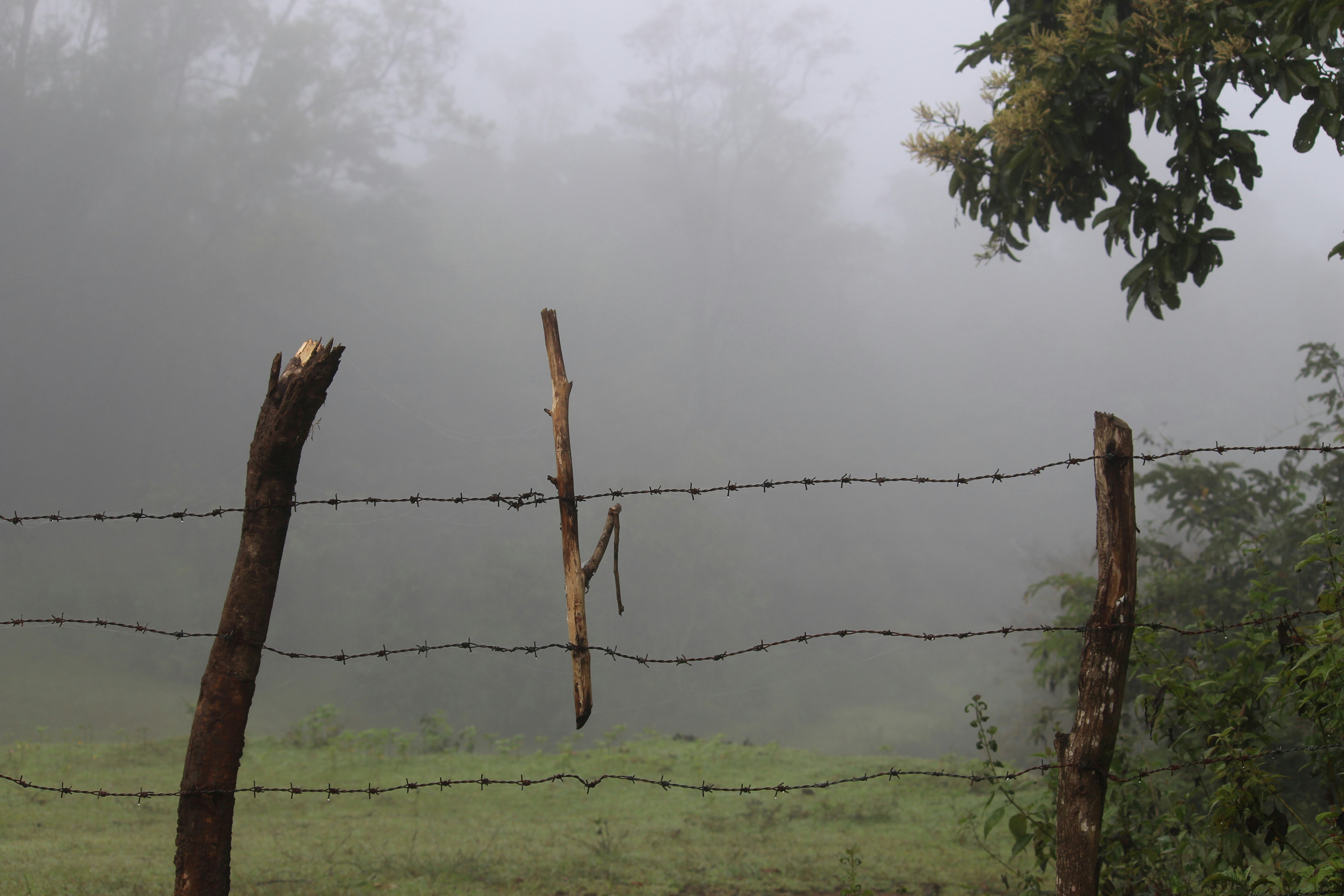
fb10766e**.jpg|5184*3456|1.53 MB

Technical Specifications
| Field | Type | Description |
|---|---|---|
| file_name | string | File name |
| quality | string | Resolution |
| weather_condition | string | The weather condition at the time the image was captured. |
| visibility_distance | float | The visibility distance in meters at the time the image was taken. |
| fog_density | float | The level of fog density at the time of capture. |
| object_count | int | The total number of target objects detected in the image. |
| object_type | string | The type of objects detected in the image, such as trees, plants, vehicles, etc. |
| camera_angle | string | The camera angle at which the image was taken, such as horizontal, top-down, or bottom-up. |
| lighting_condition | string | The lighting conditions at the time of capturing the image, such as bright or dim. |
| field_location | string | The specific location of the field where the image was taken. |
Compliance Statement
| Authorization Type | Proprietary - Commercial AI Training License (No Redistribution) |
| Commercial Use | Requires exclusive subscription or authorization contract (monthly or per-invocation charging) |
| Privacy and Anonymization | No PII, no real company names, simulated scenarios follow industry standards |
| Compliance System | Compliant with China's Data Security Law / EU GDPR / supports enterprise data access logs |
Frequently Asked Questions
- What type of dataset is the Foggy Field Environment Monitoring Dataset?
- The Foggy Field Environment Monitoring Dataset is an object detection dataset focused on monitoring tasks in the agricultural field.
- In which agricultural scenarios can this dataset be applied?
- This dataset can be applied in agricultural environment monitoring under foggy conditions, such as crop health detection and field pest monitoring.
- What is the main content of the Foggy Field Environment Monitoring Dataset?
- The dataset provides high-quality image data focused on object detection in agricultural environments under foggy conditions.
- How was this dataset generated?
- The dataset was generated by collecting images of agricultural environments under various foggy conditions, ensuring a range of detectable objects.
- Why is foggy environment monitoring data needed in agriculture?
- Foggy environment monitoring data helps improve detection accuracy under adverse weather conditions, supporting crop management and protection.

Can't find the data you need?
Post a request and let data providers reach out to you.
Get this Dataset
Verified for Enterprise UseCite this Work
@dataset{Mobiusi2025,
  title={Foggy Day Field Environment Monitoring Dataset},
  author={MOBIUSI INC},
  year={2025},
  url={https://www.mobiusi.com/datasets/7ceedbf531585c2c30e52698ab1b467d},
  urldate={2025-10-23},
  keywords={foggy monitoring, agricultural dataset, target detection, environment monitoring},
  version={1.0}
}
Using this in research? Please cite us.
placeholder
placeholder
placeholder
placeholder
placeholder
placeholder
placeholder